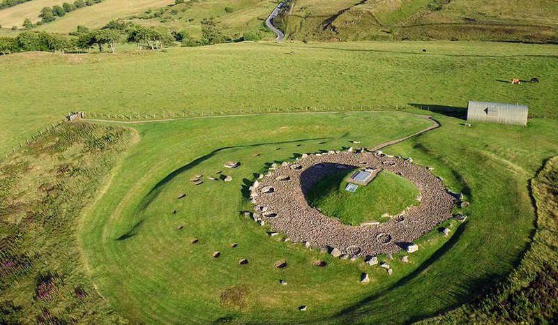
Archaeology Prospecting
Find an ancient site the non-invasive way using aerial photographic technology.

Crop Health Analysis
Aerial survey by drone to establish the health of crops.

2D/3D Terrain Mapping
2D/3D terrain mapping techniques can be used to provide an elevation map, without the need for ground based laser measuring systems.
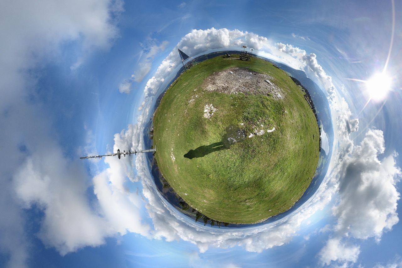
360 Degree Panoramic Photography
With full 360 degree aerial panoramic views, which can be used to monitor landscapes over time, provide a unique aerial view which can even be used with VR applications.

3D Scanning & Survey
Just like the name suggests, this method can be used to provide a quick and efficient means of creating a 3D model of a built up skyline or open landscape.